Utilize cutting-edge GIS technology to optimize course layouts, improve maintenance efficiency, and elevate player experience. Gain valuable insights and precision management for a superior golfing environment.
Leveraging advanced geospatial technology, we deliver detailed insights for optimal course management.
Create detailed, customizable maps of the golf course layout, including Fairways, Greens, Bunker etc. This service includes the use of GIS technology to visualize course features and facilitate better planning and navigation for golfers and staff.
Load high-resolution orthoPhotos, which are aerial images corrected for distortion, providing an accurate visual representation of the course. This service assists in planning maintenance schedules and landscape management, helping to identify areas needing attention.
Conduct comprehensive ground surveys using GPS and other geospatial technologies to capture topographical and environmental data. This information is crucial for understanding terrain variations, drainage patterns, and vegetation management, aiding in sustainable course design.
Implement advanced tracking systems for maintenance machinery, allowing course managers to monitor equipment usage and location in real-time. This service enhances operational efficiency by optimizing resource allocation and maintenance schedules based on machine activity.
Utilize GIS to track environmental factors impacting the golf course, such as soil moisture levels, pest populations, and native species habitats. This service supports ecological sustainability efforts and helps maintain the health of the course's ecosystem.
Create 3D models of the golf course to simulate various design options and visualize potential changes. This immersive experience helps stakeholders understand the impact of design decisions before implementation.
Utilizing a digital pen, users can draw and annotate directly on GIS maps to design and modify course features such as fairways, greens, bunkers, and water hazards. This intuitive approach facilitates real-time adjustments and visualizations, enabling course designers to easily illustrate concepts and modifications.
Users can easily adjust shapes, sizes, and positions to reflect design changes or maintenance needs. The intuitive interface ensures precise edits, enhancing the overall accuracy and functionality of course mapping.
By utilizing real-time sensors and GIS technology, course managers receive actionable insights to optimize irrigation practices, enhance turf health, and promote sustainable maintenance strategies. Regular reports and visualizations help inform decision-making and improve overall course quality.
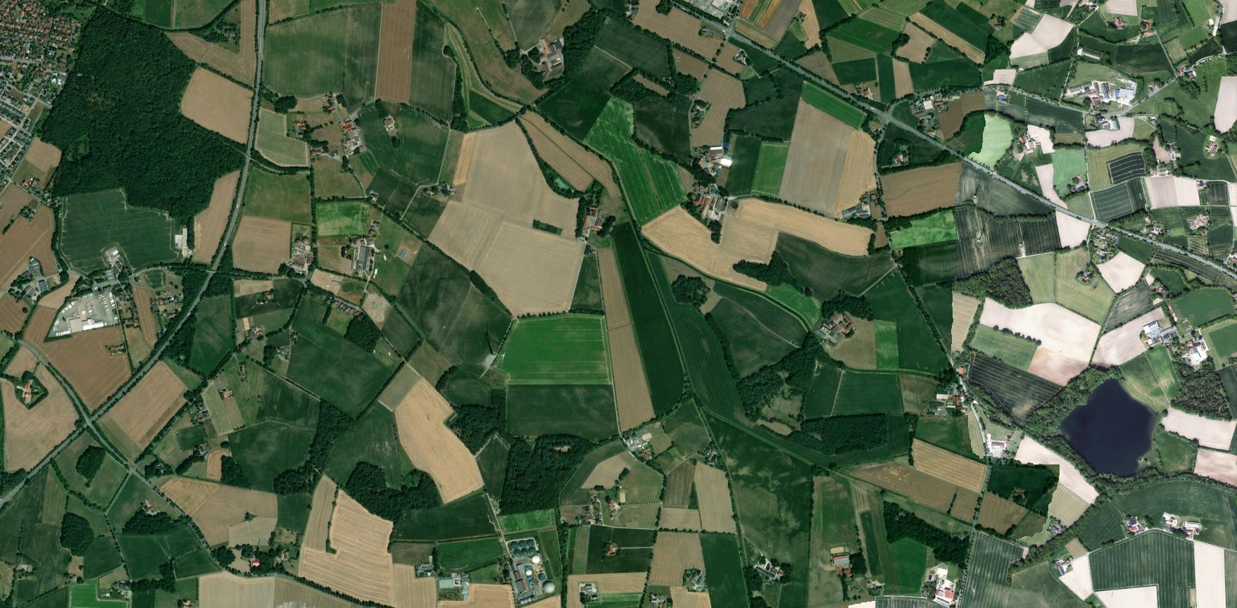
Our GIS orthophoto service provides high-resolution imagery tailored for golf course design and maintenance. Enhance course planning, landscaping, and management with our accurate and detailed aerial photos. Trust our expertise to deliver precise visual data for optimal golf course development and upkeep.